• Skip to primary navigation
  • Skip to main content
TAD Graphics logo

t ad studio | tad graphics

A vibrant, multi-disciplinary advertising, communications, creative and digital agency

  • About us
  • What we do
    • Creative and graphic design
    • Copywriting
    • Marketing and advertising
    • Promotional photography
    • Web design and digital media
  • Portfolio
  • Blog
  • Contact us
  • Shop prints

queenstown

Doubtful Sound – the cousin of Milford Sound

4 August 2018 by tadgraphics

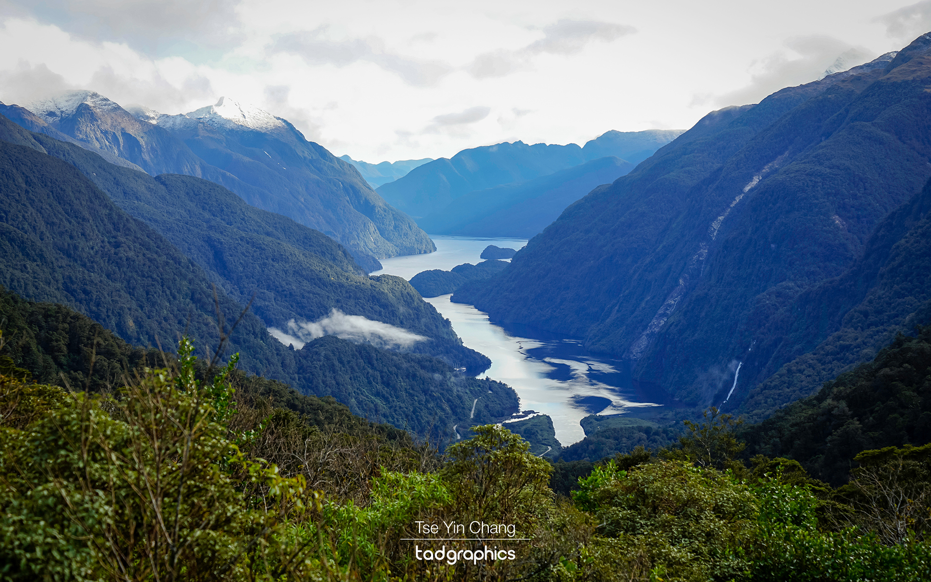
Magnificent view of Doubtful Sound from the peak of Wilmot Pass

The fjords of New Zealand are legendary. The southern portion of the west coast of the country’s south island is peppered with them and they manage to stand out as dramatic and picturesque in a country comprising almost exclusively of landscapes which fit these two adjectives. Crystal clear waters snake through the narrow channels they have managed to cut out of the jagged mountain ranges as they make their way to the sea. The steep flanks of those mountains are often clad with atmospheric pine forests, while many of the peaks which make up the highest points of this vista are white with snow and ice.
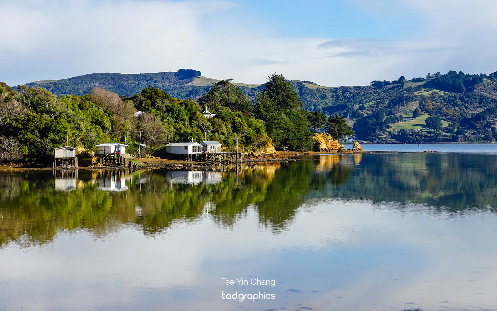
Reflections, Otago Peninsula

This was not my first trip to the region. On a previous trip I visited the most famous fjord, Milford Sound, and what I had seen there made me want to return. I was told that its neighbours were no less attractive, so rather than revisit Milford, I opted to explore a different fjord – Doubtful Sound.

In a place so packed with varied and compelling geography, getting to our destination was as much part of our experience as the fjord itself. We started the day from Dunedin, the quaint capital of New Zealand’s far south. Sitting on the East Coast, it takes around four hours to drive to Te Anau – the gateway to the Fiordland National Park. Dunedin was a pleasant place to make a pitstop, thanks to its charming architecture and lively atmosphere.
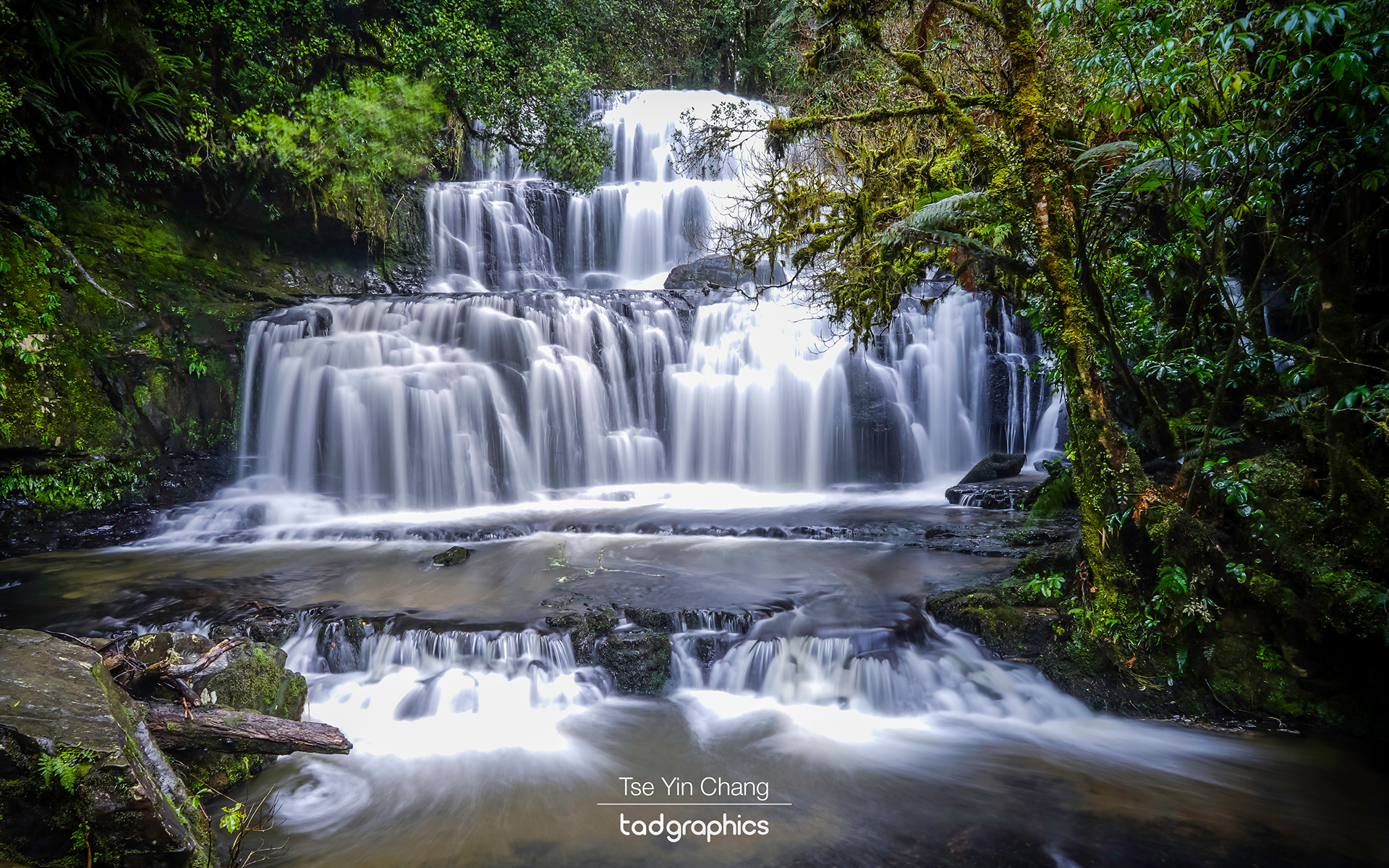
Purakaunui Falls, located in the Catlins Forest Park is the most photographed waterfall in New Zealand
Purakaunui Falls, located in the Catlins Forest Park, is the most photographed waterfall in New Zealand

As we set out, the cityscape gave way to the lush green farmlands of Otago. In contrast to the rugged terrain we had seen earlier in our trip, this was nature on a more manageable level. We drove through rolling hills and well-kept fields which, while not as eye catching as the mountains, made for a pleasant contrast. After about an hour we reached the country town of Balclutha where we took some deviations from our route.
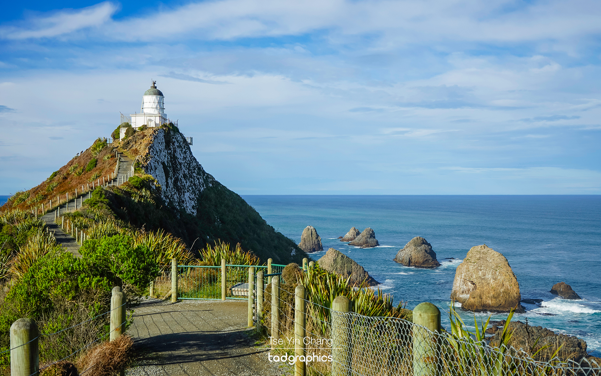
Nugget Point Lighthouse overlooks a patch of water dotted with rocky islets

A large part of the local area is taken up by the Catlins Forest Park. Ideally we would have had more time to spend here, as the park contains much of the country’s finest forest as well as an undulating windswept coastline. There are plenty of things to see in the area, so we picked two that looked both exciting and easily accessible. I love a good waterfall, so paying a visit to the Purakaunui Falls was high up on my ‘places to visit in New Zealand’ list. It is also the most photographed waterfall in New Zealand. Next we moved on to Nugget Point Lighthouse. Sitting on a peninsula overlooking a patch of water dotted with rocky islets or ‘nuggets’, the lighthouse was built to help passing ships avoid being wrecked. While they may be a hazard to sailors, they do make a striking sight when combined with the jagged peninsula on which the lighthouse sits.
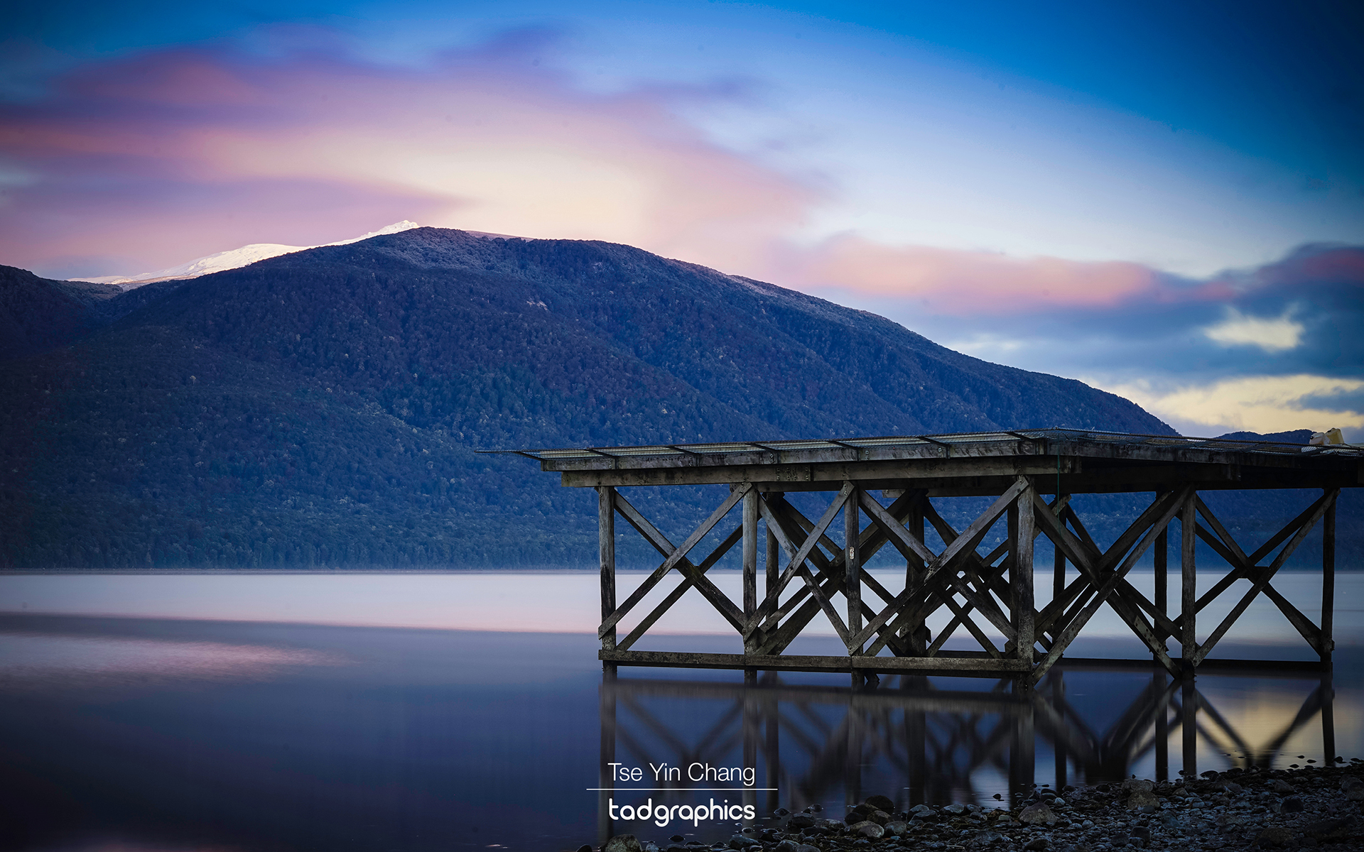
The helipad standing tall on Lake Te Anau at sunrise

Getting back onto the main road, our route took us into the region of Southland where we passed more open farmland. Periodically eye-catching hills would rise up on either side, and as we got closer to our destination these grew steadily in stature until we reached the outskirts of Te Anau, where suddenly lofty mountains loomed over the road ahead. The town sits on the eastern shore of a lake (which shares its name) and which divides the largely flat farmlands we had passed through from the wild and largely uninhabited fjord-crossed mountains of the west. We arrived just as sunset was approaching, and a light dusting of snow was starting to fall. It was a fitting way to enter what would be our base for the next couple of days.
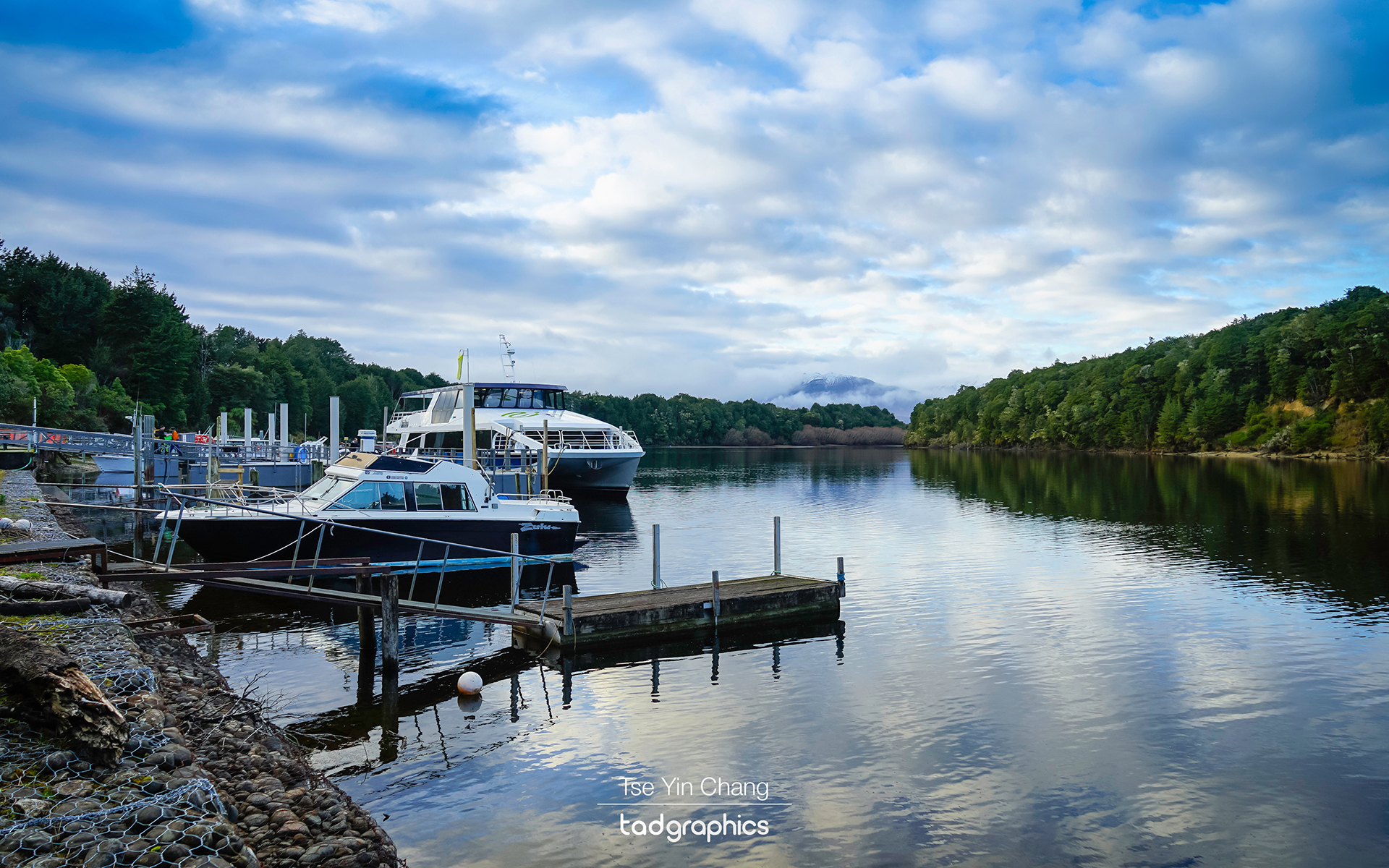
With no direct road access, the only to get to Doubtful Sound is by a cruise across Lake Manapouri
With no direct road access, the only way to get to Doubtful Sound is by a cruise across Lake Manapouri

After a comfortable night’s sleep at Distinction Te Anau Hotel and Villas we awoke to beautiful and inspiring views of the lake, thanks to the hotel’s location right on its shoreline. We were also met by a blanket of snow which had fallen over night, and our first job of the day was to scrape it off our car windscreen. The clouds had passed by that point however, and had given way to a beautiful crisp sunny winter’s day.

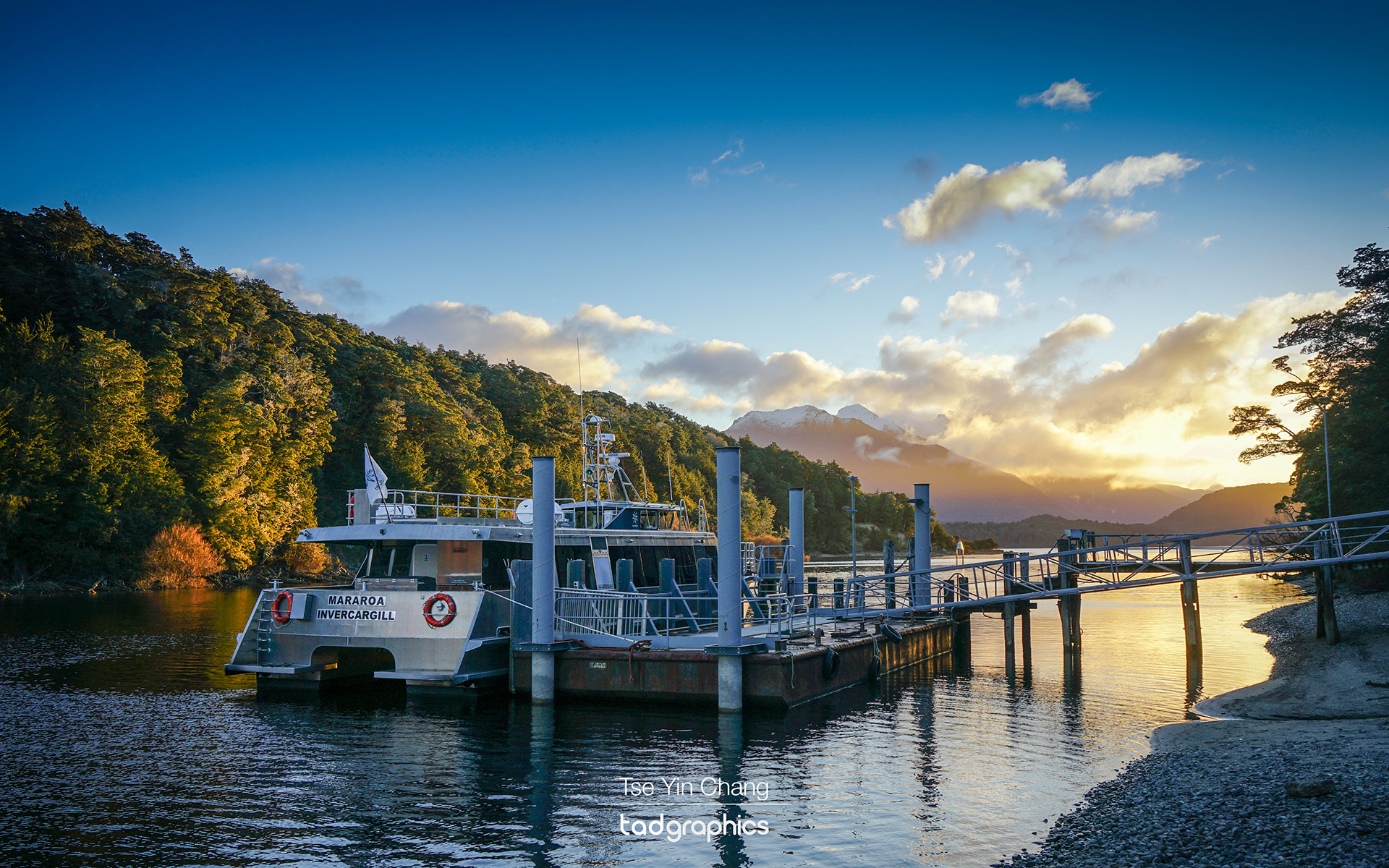
Once that was done we were off to the hamlet of Manapouri where our day trip to Doubtful Sound would begin. The sound is completely inaccessible by road – the only way to get there is by sailing across Lake Manapouri by boat. We went with a company called Real Journeys on their ‘Doubtful Sound Wilderness Cruises’. We had hoped to go on an overnight tour (and wished we had been able to even more after the trip), but as they are not available during winter we settled for an eight hour day cruise.
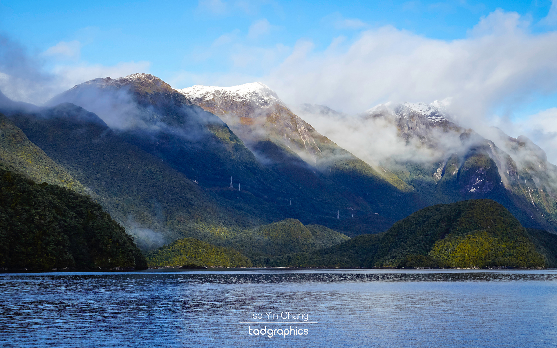
Majestic fjords are visible while sailing across Lake Manapouri

From the beginning the scenery was spectacular. The open lake made a great contrast to the narrower channels of the sound which would soon follow. Before long that narrowing happened as the mountains started to encroach on the water. When we reached the top of the lake’s West Arm, we docked at a lonely hydroelectric power station. From here, the sound itself is on the other side of Wilmot Pass and a ribbon of isolated road connects the two bodies of water.
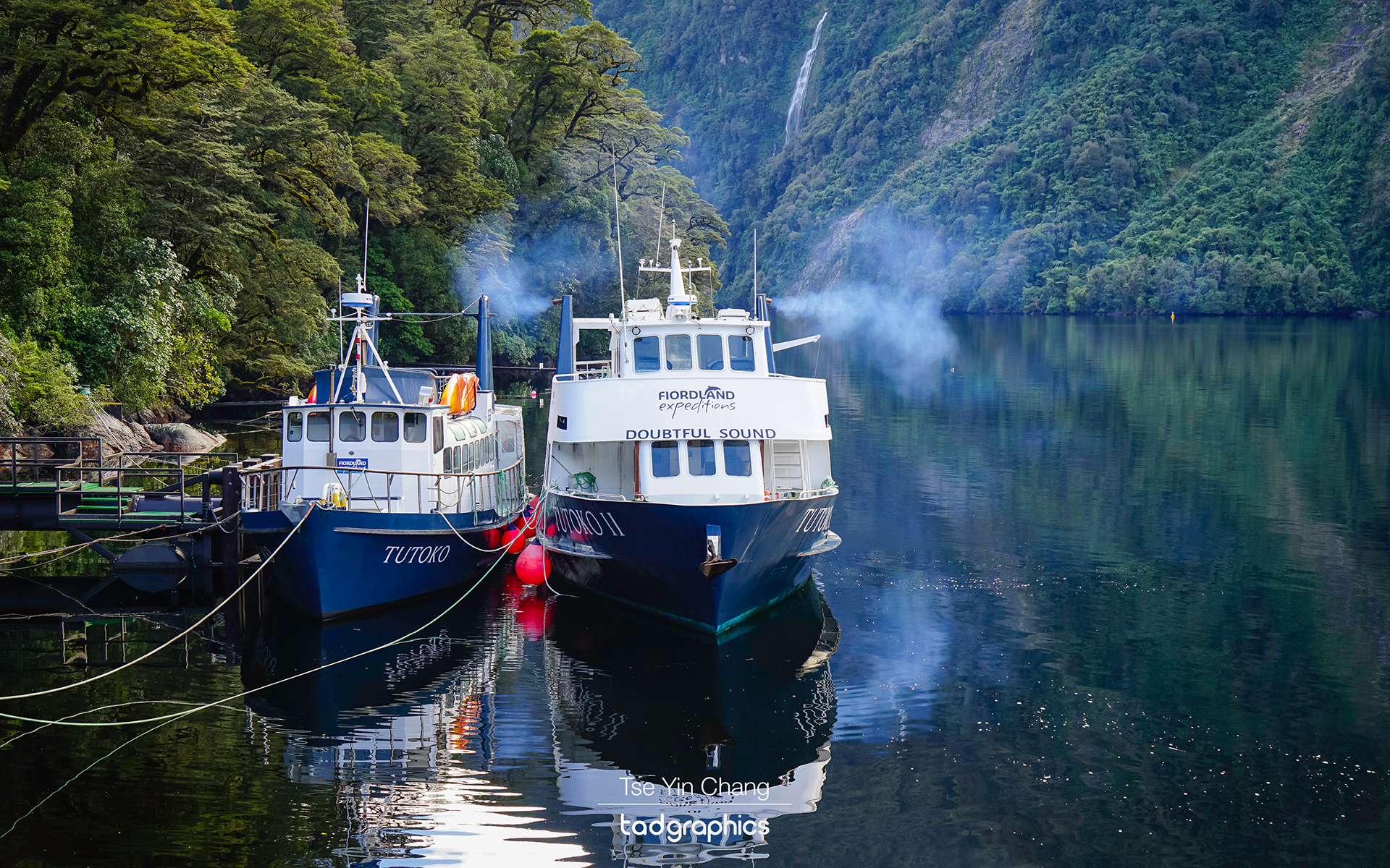
Serenity and silence... as we continued our cruise down Doubtful Sound towards the Tasman Sea
We were rewarded with serenity and silence as we continued our cruise down Doubtful Sound towards the Tasman Sea

We were transferred onto a coach which took about half an hour to drive over the Pass. The road was purpose built to facilitate the construction of the Manapouri Power Station. Nowadays the road is used mainly for tourism and fishing operators. The road is the only one in the country which is completely disconnected to the rest of the country’s network, and driving on it is a hair-raising twisting affair which takes in waterfalls and forests on its way up and down the Pass. The highest point of the Pass stood at 671 m and offers magnificent view of Doubtful Sound.
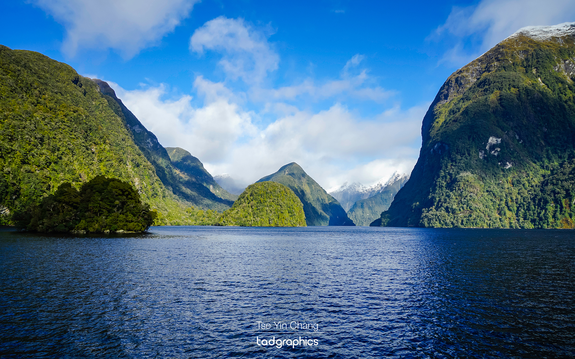
The pristine beauty of Doubtful Sound as we sailed towards the Tasman Sea

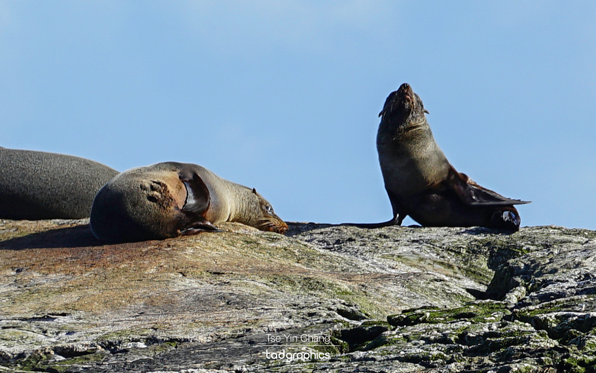
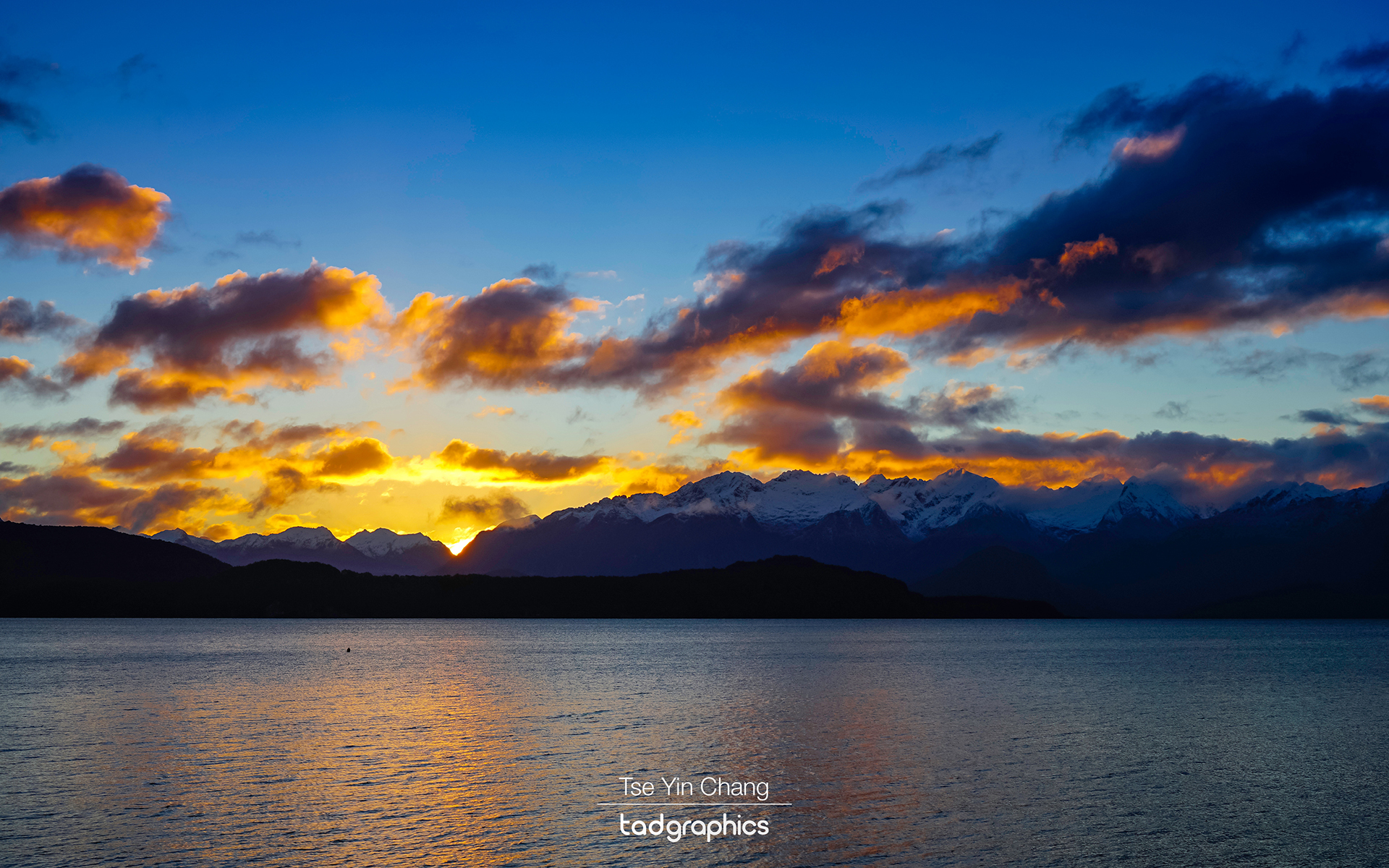
Once we reached the other side we were back onto another boat for a cruise down the Sound and into the Tasman Sea. As well as more stunning scenery, we were lucky enough to observe some of the local wildlife during this portion of the tour. This included fur seals and the illusive yellow-eyed penguin. To cap it all off, upon our return to Manapouri nature had one more gift for us in the form of a colourful sunset. We stayed to photograph it before heading back to Te Anau.
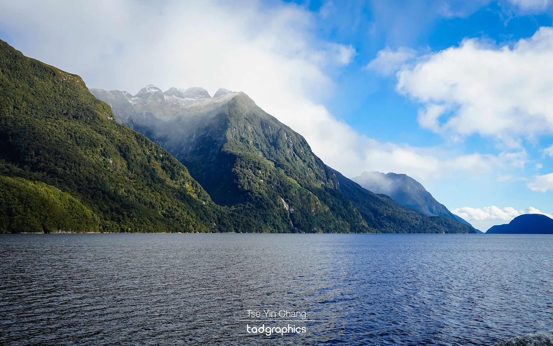
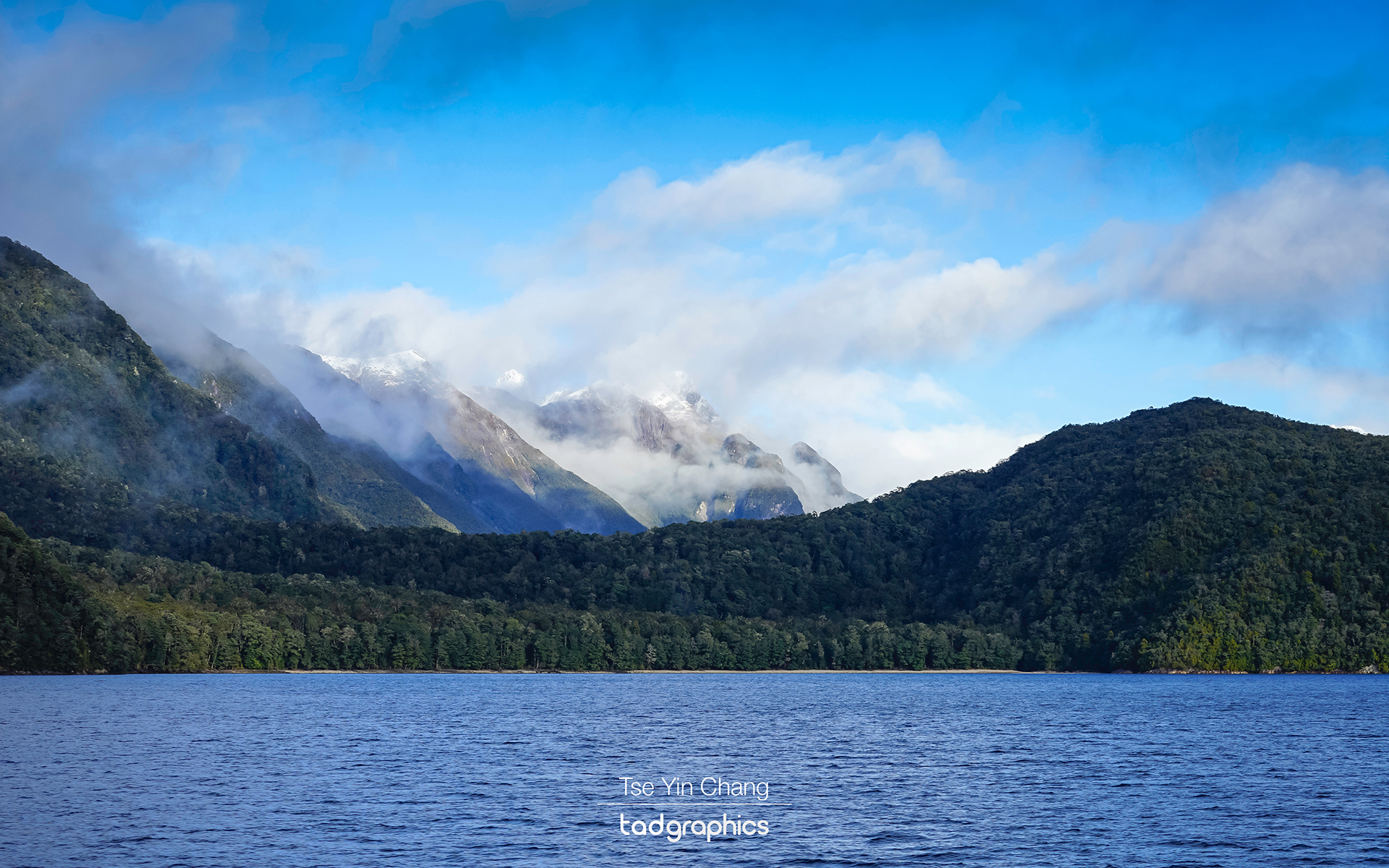
The mood of the fjord is dominated by the weather, it was tranquil and mysterious in the mist

While Milford Sound attracts the majority of visitors, having now seen both I had come to the conclusion that I prefer Doubtful Sound. It is no less spectacular, and as Milford Sound draws most of the tourists it is much more peaceful and less crowded. Measuring roughly forty kilometres, and with several different arms, we could have easily spent more time exploring all its nooks and crannies. The relative lack of people also lets it retain its lonely charm and adds to the feeling that you have reached the end of the world.
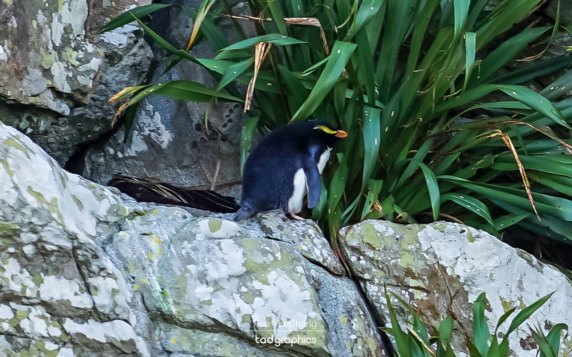
We were lucky to catch a glimpse of the rare Fiordland Crested Penguin

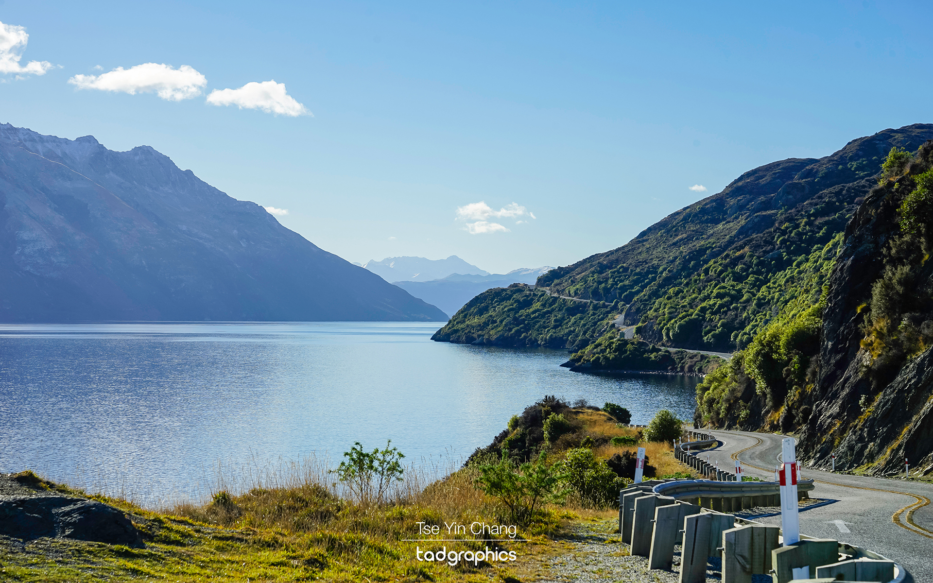
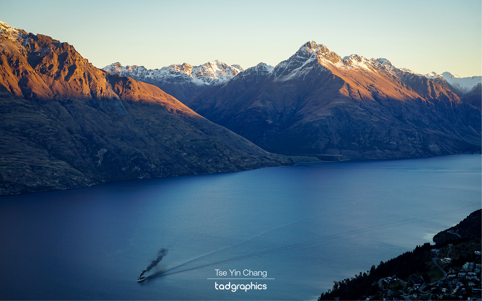
We spent the night back in Te Anau before moving north to Queenstown. On our way there however, we first went north along the lake past Te Anau Downs to see the Eglinton Valley and Mirror Lakes. The valley is yet another example of the region’s exciting scenery. If the area is generally reminiscent of somewhere like Norway, this particular stretch feels like the high steppes of Central Asia. The feeling of space that its broad grassy plains give enhance the steep mountain ranges running along its sides, and makes them feel perhaps even more epic. This is probably why it was chosen as a filming location for the Lord of the Rings films. Part of the way up the valley, you’ll encounter Mirror Lakes: another photogenic natural wonder with an apt name as their waters reflect the surrounding peaks. Afterwards we retraced our steps and looped around to Queenstown. The road clung scenically to the edge of Lake Wakatipu, providing a seemingly endless procession of remarkable views.

Prints from my Doubtful Sound photo collection are available in a variety of different sizes and framing options. Please get in touch to find out more.

See also:

  • Off the beaten track – exploring the Remarkables and Nevis Road Duffers Saddle
  • New Zealand’s Glacier Country
Fur seals enjoying the sun
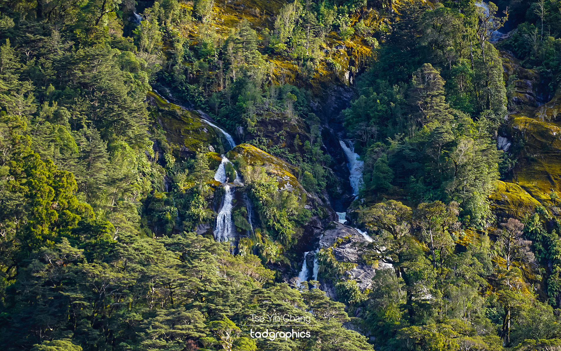
Ample waterfalls flowing into the sea after the rain, Doubtful Sound
Sunset over Lake Manapouri
Colourful sunset over the fjords, Lake Manapouri
Seeing double... a calm and chilly morning in Lake Te Anau overlooking the fjords
Seeing double… a calm and chilly morning in Lake Te Anau overlooking the fjords
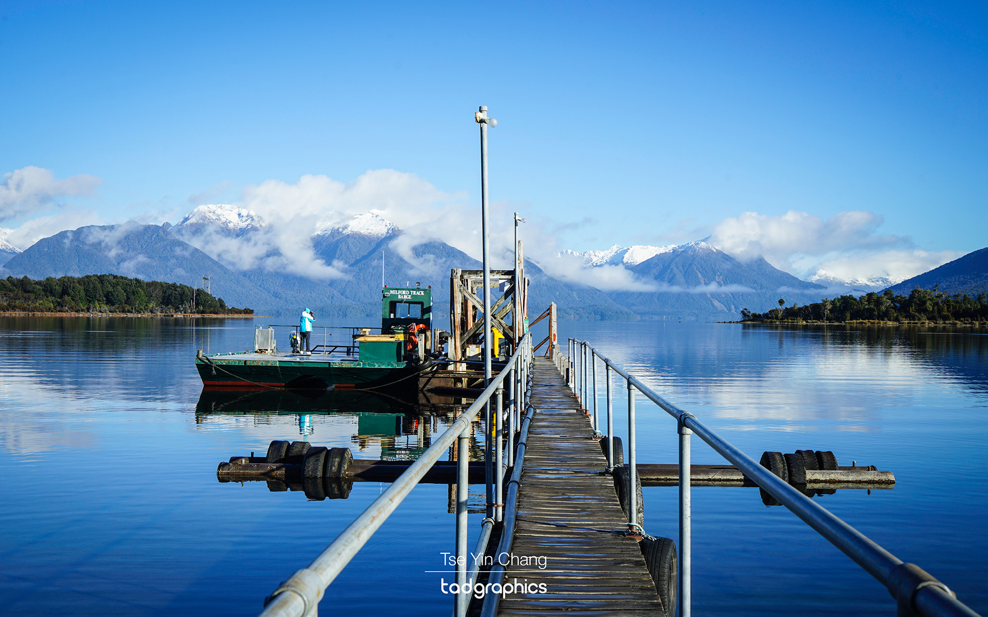
A snowy and icy morning, Milford Track Barge, Te Anau Downs
Devil's Staircase, the windy road clinging scenically to the edge of Lake Wakatopi and the Remarkables Mountain Range, Queenstown
Devil’s Staircase, the windy road clinging scenically to the edge of Lake Wakatopi and the Remarkables Mountain Range, Queenstown
Vast and untouched wilderness of Doubtful Sound

Filed Under: Blog, Photography, Portfolio, Travel Tagged With: catlins, doubtful sound, fjord, new zealand, otago, purakaunui waterfall, queenstown, south island, te anau

Off the beaten track – exploring the Remarkables and Nevis Road Duffers Saddle

7 May 2018 by tadgraphics

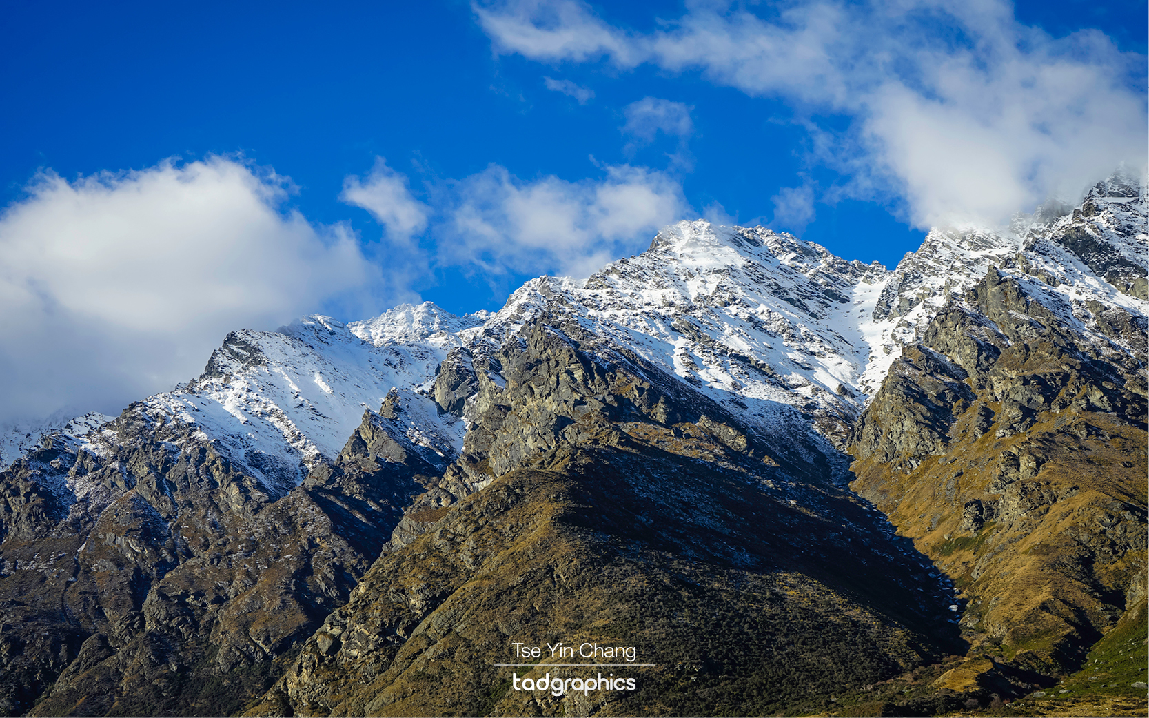
The dramatic mountain range towers over Queenstown, taken from the Remarkables at sunrise

The mountains of New Zealand’s South Island have caught the eye of travellers from across the world in recent decades. Running down the island like a spine, they are one of the world’s best examples of pristine mountain scenery, rivalling the Alps and the Rockies. The peaks are interspersed with fjords, lakes and pine forests while quaint little towns nestle in whatever flat space they can find.

Golden sunset on the dramatic mountain ranges rising out of Lake Wakatipu

There can be no better endorsement of this than the long list of films which have used the region as a backdrop. South Island was famously used to film The Lord of the Rings, as well as The Chronicles of Narnia, one of the X-Men movies and most recently Mission: Impossible – Fallout. The area around Queenstown is especially popular among directors with many of the aforementioned movies using this part of the country as a backdrop, as well as a host of others. Everything from Bollywood hits to local productions have taken advantage of the scenery there.

The Remarkables on a clear winter day

Anything which looks this good in moving pictures will also lend itself to landscape photography. There is an abundance of photogenic attractions in the Queenstown area, including The Remarkables and Duffers Saddle. Looking to add another spectacular set of shots to my portfolio, I set off on a photography tour organised by a local specialist – Martin Kohn.

Pretty quickly, I realised how apt a name The Remarkables is. The dramatic mountain range towers over Queenstown, rising up out of Lake Wakatipu until its jagged peaks pierce the crisp blue sky. This makes for a breathtaking sight when viewed from Queenstown itself, but our trip gave us the chance to see them up close and get shots from different angles. Having lived in the area and being a photographer himself, Martin knew all the best places to take us which most visitors might easily miss.

The Remarkables is home to one of New Zealand’s top ski centres

This was one of those times where the journey was as exciting as the destination. We skirted the edge of the lake before crossing the river Kawarau and turning off the main road. From here we ascended the wiggly road which leads to the top. Every corner brought a new view, and each was more awe-inspiring than the last. It was fairly busy as the Remarkables is home to one of New Zealand’s top ski centres. People come from all over the world to use these slopes, and although we do not ski ourselves the conditions looked perfect for it.

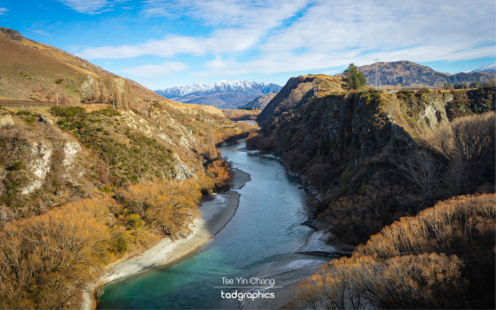
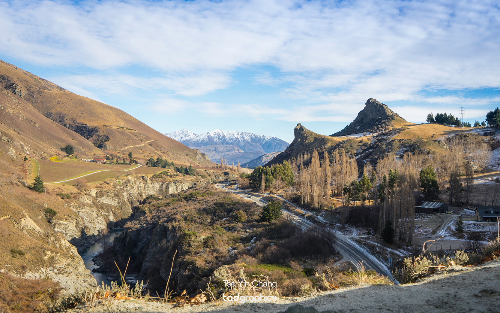
Spectacular Kawarau Gorge, known as the Anduin River, that the Fellowship of the Ring paddled down to be greeted by the two giant statues on either side on the river. The two giant statues were added in post production.

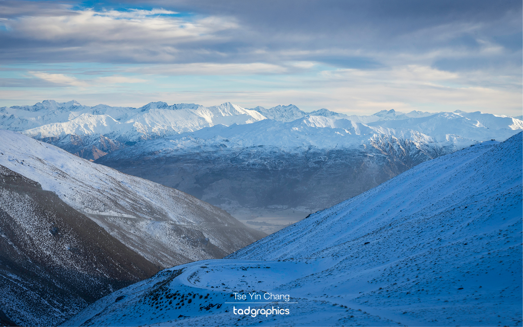
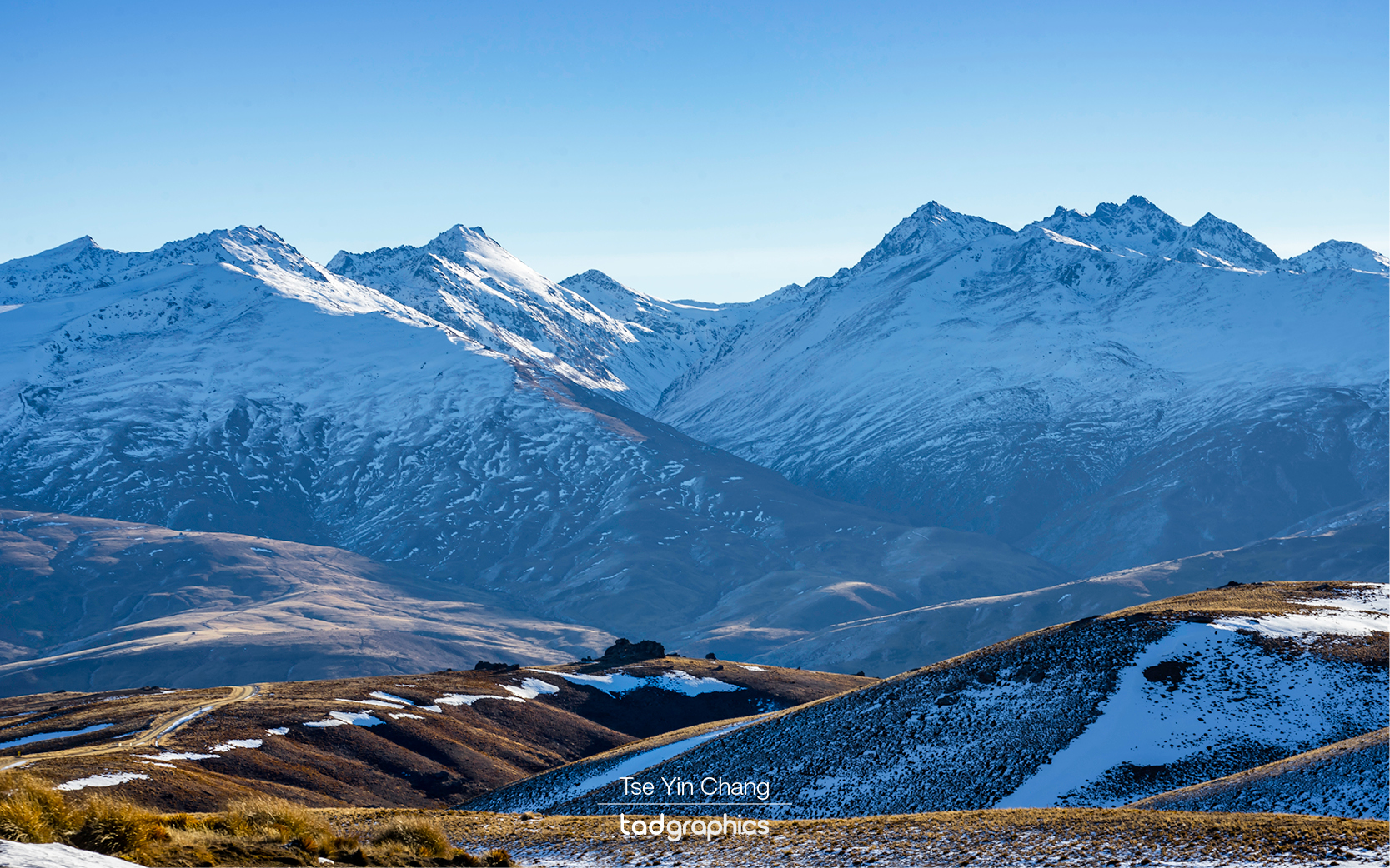
While the Remarkables rightly attract the most attention thanks to their distinctive silhouette, they are just one range of many. The mountains continue onwards to the east before eventually dropping off towards the coast. This part receives less visitors than the area directly around Queenstown but that does not make it any less spectacular. Making use of his local knowledge, Martin took us out to see one of the best parts of the backcountry there. The Nevis Valley winds its way between steep, rocky slopes, slowly descending to meet the larger Kawarau River (which eventually drains into Lake Wakatipu near Queenstown). While this part of the country did see a gold rush in the late 1800s, the land is not flat enough to farm for the most part and so the area is wild, remote and unpopulated.

Parts of Nevis Valley is covered with snow in winter

There is one small section of the river bank which is farmed by the owners of Ben Nevis Station. Our reason for passing was not to see this however, it was to take the Duffers Saddle – the only road which takes you up and over the mountains on the eastern side of the valley. This little used thoroughfare is New Zealand’s highest public road, reaching a height of 1,300 meters above sea level. Being so isolated, it is nothing more than an unsealed dirt track and weather conditions can make it impassable during the winter months.

There are abundance of photogenic attractions in the Queenstown area, including Nevis Valley

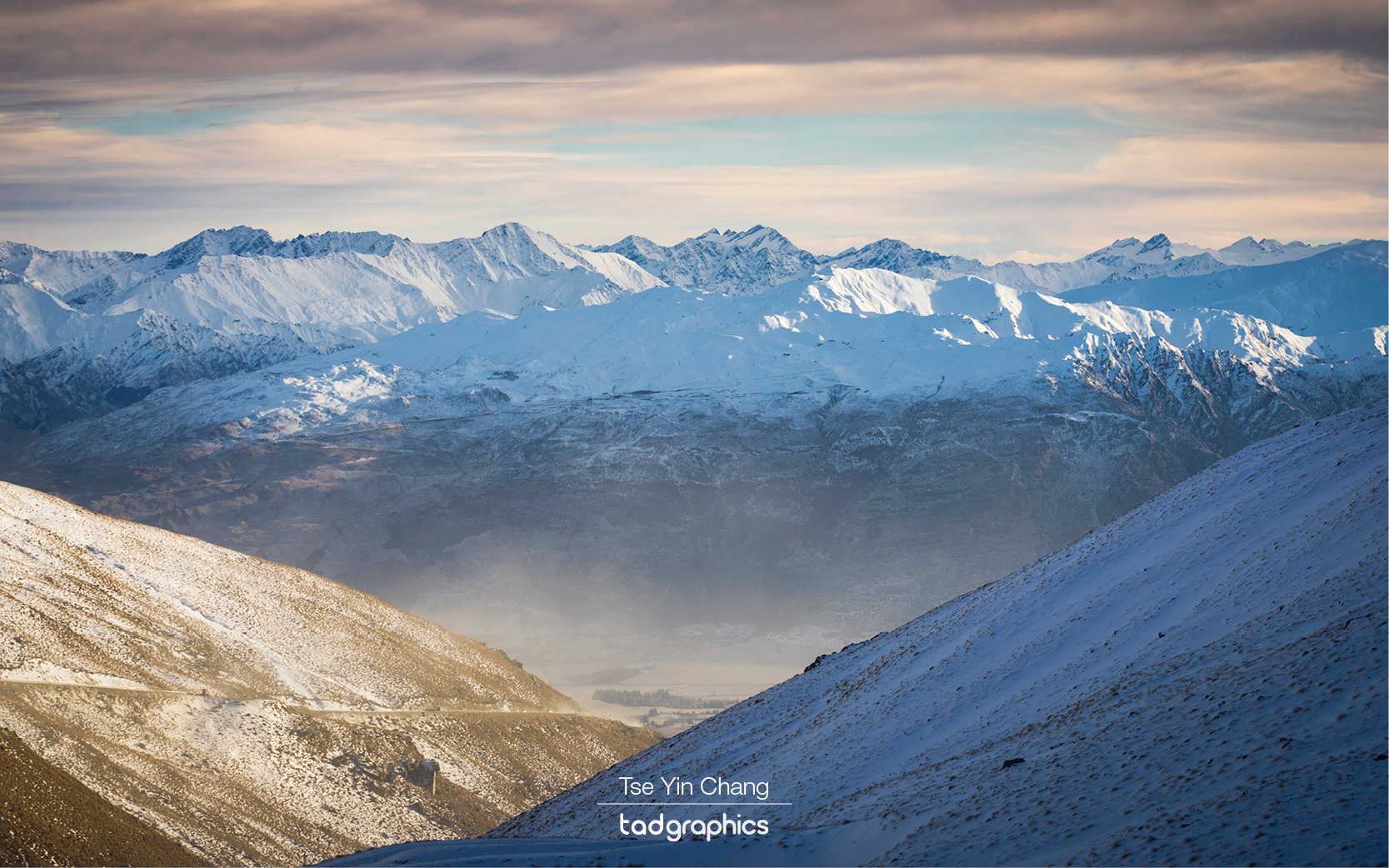
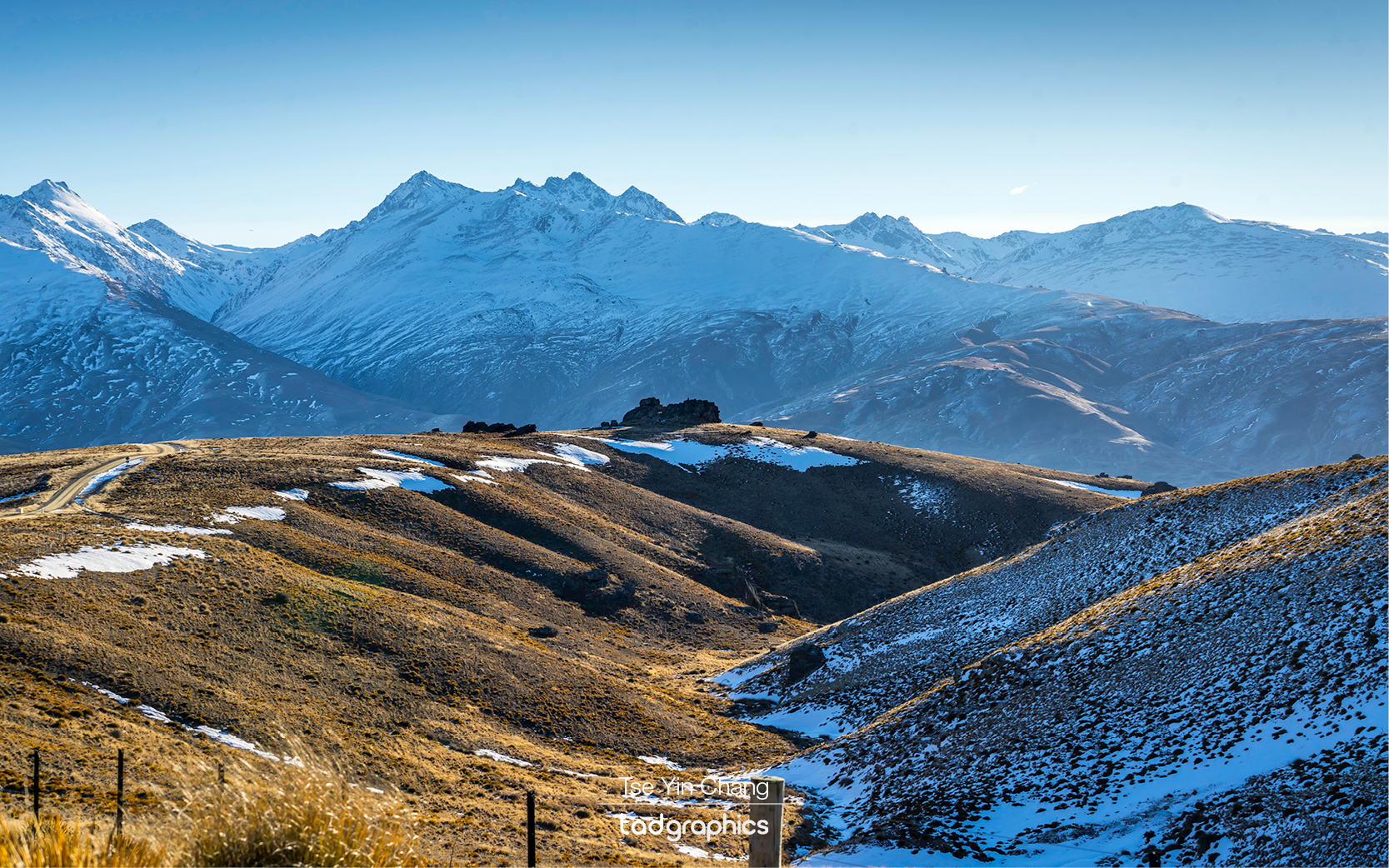
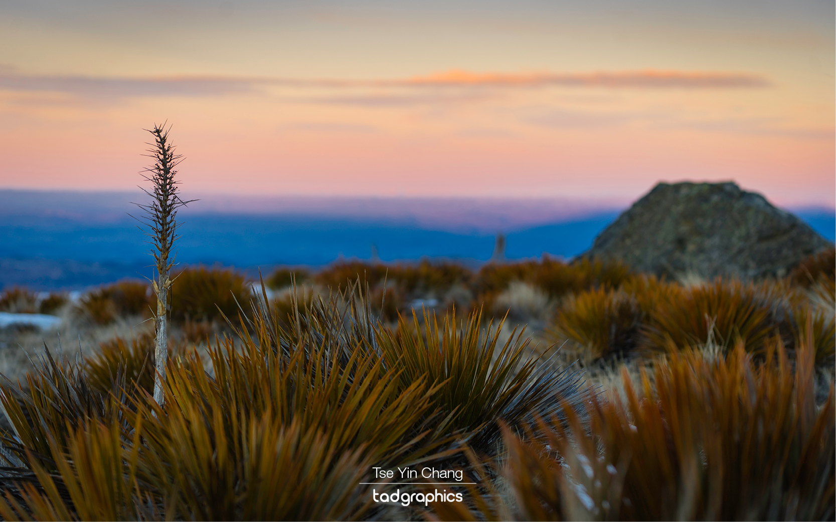
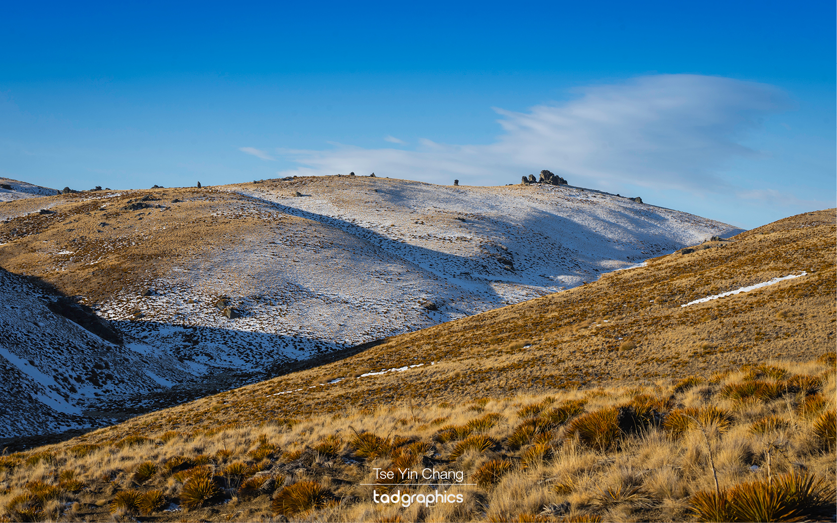
When you get this high up, even the pines which carpet the slopes disappear. The only thing which grows up here are hardy grasses, and so the empty landscapes take on a hauntingly lonely appearance. Interesting rock formations are scattered around seemingly at random, and more often than not the horizon is crowned with lines of distant snow-capped peaks. We were there in late July which made the experience even better. The high plain the road traverses was blanketed in snow, making it look even more spectacular. Luckily the conditions were not bad enough to prevent us from travelling.

The only thing which grows up here in Duffers Saddle are hardy grasses

Even the drive back to Queenstown was a treat as the geography means that there is no boring route. Martin had been a great guide and the whole day was one to remember. There are so many things to see in New Zealand, but we were satisfied that we had chosen one of the best.

My Remarkables and Nevis Road Duffers Saddle photo collection is available as prints and comes in a variety of framing options. Please get in touch to find out more.

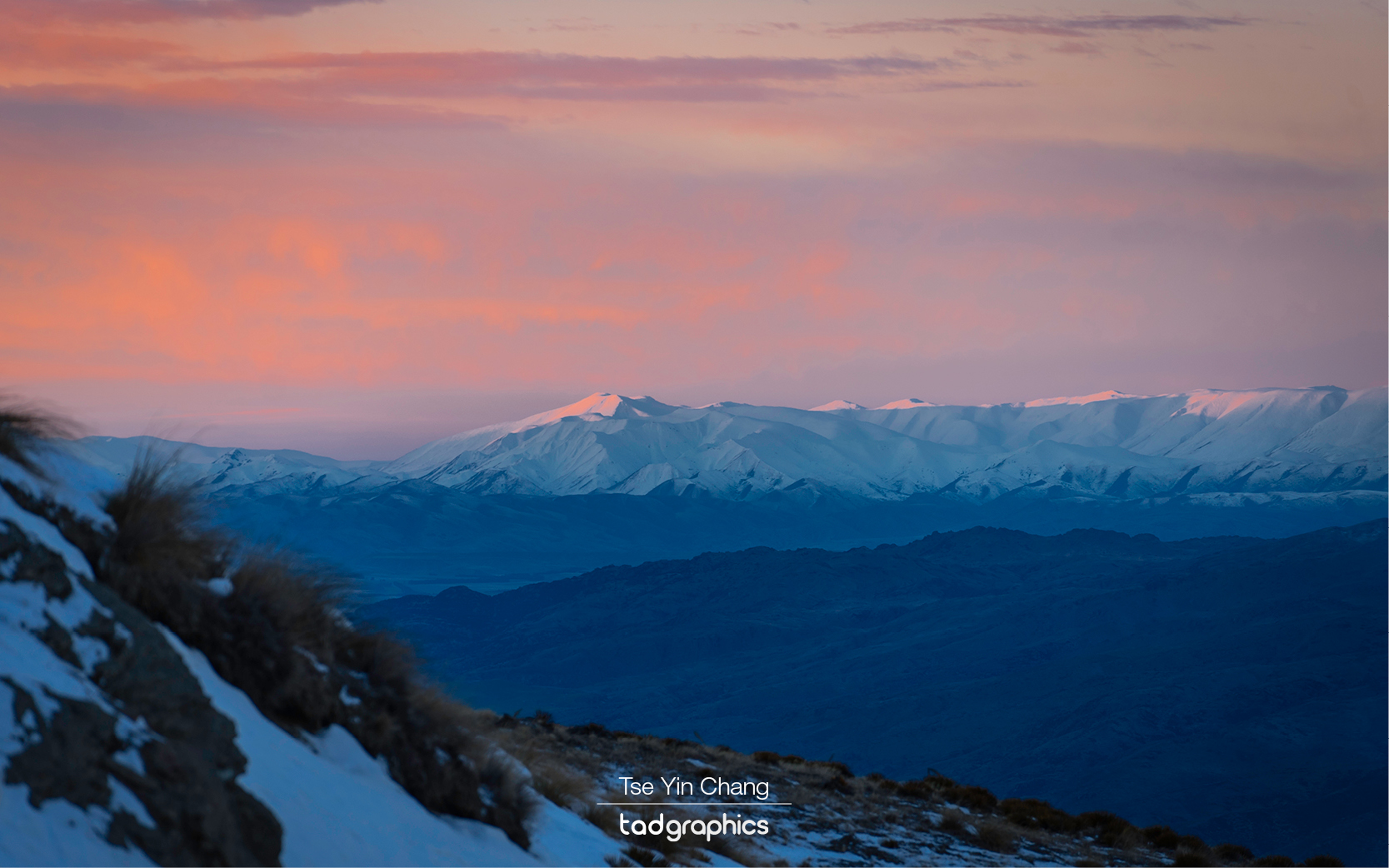
Vivid winter sunset taken from Duffers Saddle, New Zealand’s highest public road, reaching a height of 1,300 meters above sea level
Judge and Jury, Kawarau Gorge, Central Otago
Nevis Valley
Nevis Valley

Filed Under: Blog, Photography, Portfolio, Travel Tagged With: Duffers Saddle, kawarau river, nevis valley, new zealand, queenstown, remarkables, snow, south island, travel, winter

© Copyright 2005-26. All rights reserved. t ad studio | tad graphics. Web and graphic design Perth. Admin